Albania Macedonia

Korab - 2764 m

Mountain range on the Balkan Peninsula, on the border of North Macedonia and Albania. The highest peak of the range - Golem Korab reaches a height of 2764 metres. The range contains ten peaks exceeding 2000 metres, as well as some of the highest passes in the region, including Porta e Korabit të Vogël (2465 m) and Porta e Korabit të Madh (2062 m).

source: wikipedia.org

Korab

Last updated: none

Duration

7-9 hours

Starting point

Radomirë

Nearest airport

Skopje "Alexander the Great" Airport

Trail difficulty

Medium

Mountain hut on the way to the peak

None

Are the details not up to date?

Help other travellers!

We are currently gathering data about each peak. If you or your friends can help others, so...

Complete a short form

Introduction

Mount Korab reaches a height of 2764 meters above sea level and is the highest peak on the border of Albania and Macedonia. The trail to the summit is moderately difficult and does not require climbing, but due to steep ascents and altitude, hikers should be well prepared.

Weather

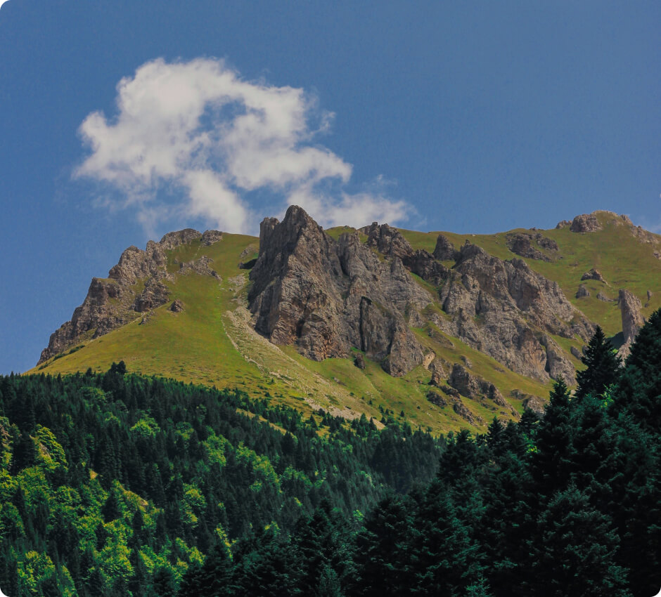
In the summer, the trail to the Korab summit is milder and more pleasant. Temperatures range from 10 to 20 degrees Celsius. Although short-term rainfall may occur, most of the time the conditions are pleasant for hiking.

In winter, the conditions on the trail are much more difficult. The Korab peak experiences low temperatures, often below zero, and there may be a lot of snow. Without appropriate equipment and experience, winter hiking is not recommended.

How to get there

The best way to get to Albania or Macedonia is by plane. The nearest airport is Skopje "Alexander the Great" Airport in Macedonia. From there, you can drive or take a bus to the town of Radomirë.

Trailhead

The trailhead is located in the town of Radomirë. You can park your car there and start hiking. The trail is well marked and leads through the forest, then through meadows, and finally through rocky high mountain terrain.

Route to the summit

The Korab trail is well marked and leads through a variety of terrain, starting from forests, then through meadows, and finally through rocky high mountain terrain. Climbing to the summit takes about 7-9 hours depending on the pace of the hike. Additional climbing equipment is not required, but it is worth remembering to wear appropriate footwear and clothing.

Accommodation

There is no mountain hut en route to the summit, but it is possible to pitch a tent on the meadows near the trail. However, it is important to observe the rules of nature conservation and responsible use of mountain areas.

Zapisaliśmy Twojego maila w bazie.

Jak tylko projekt zostanie uruchomiony, to wyślemy Ci wiadomość.

Jesteśmy w kontakcie!
Ups... musisz wyrazić zgodę i wpisać poprawny adres e-mail

Our newsletter is a virtuosity of spam and unnecessary emails. Sign up and we will harass you... just kidding!

You will receive only important notifications and news. Sometimes we may write about other mountain initiatives, but know that you can unsubscribe at any time.