Niemcy

Zugspitze - 2962 m

Zugspitze is part of the Wettersteingebirge mountain range in the Bavarian Alps (Tyrolean-Bavarian Limestone Alps) on the German-Austrian border in the Garmisch-Partenkirchen district. The name of the mountain comes from frequent avalanches (German: Lawinenzüge) descending down the steep northern wall.

source: wikipedia.org

Vatican Hill

Last updated: none

Duration

8-10 hours

Starting point

Eibsee

Nearest airport

Munich Airport (MUC)

Trail difficulty

Medium

Mountain hut on the way to the peak

Münchner Haus

Are the details not up to date?

Help other travellers!

We are currently gathering data about each peak. If you or your friends can help others, so...

Complete a short form

Introduction

Zugspitze is the highest peak in Germany at 2962 meters above sea level. Its summit offers breathtaking views of the Alps and surrounding valleys. Climbing Zugspitze is an unforgettable challenge, though not as difficult as it may seem. The trail is steep but well-marked and does not require professional equipment.

Weather

In summer, temperatures on Zugspitze can range from 5 to 15 degrees Celsius. Weather conditions are usually mild with moderate rainfall. However, sudden weather changes should be expected and hikers should be prepared for any eventuality. The trail is most heavily trafficked from July to September.

In winter, Zugspitze is snow-covered, and temperatures drop below freezing, sometimes reaching as low as -20 degrees Celsius. Snowfall is abundant, which can make hiking challenging. The trail is less trafficked in winter, but for experienced mountaineers, it can be a great challenge. Proper equipment, such as crampons and ice axes, is necessary in the winter season.
How to get there

The nearest airport is Munich Airport (MUC). After landing, one can travel to Garmisch-Partenkirchen by train or car. The journey by car takes about 1.5 hours, while by train it takes about 2 hours. Next, one must reach the starting point of the trail - Eibsee - which can be done by local bus or car (about 20 minutes).

Starting point of the trail

The starting point of the trail is located above the picturesque Eibsee lake. There is a large car park nearby where cars can be left. The trail begins at an information sign that indicates the direction of the climb.

Route to the summit

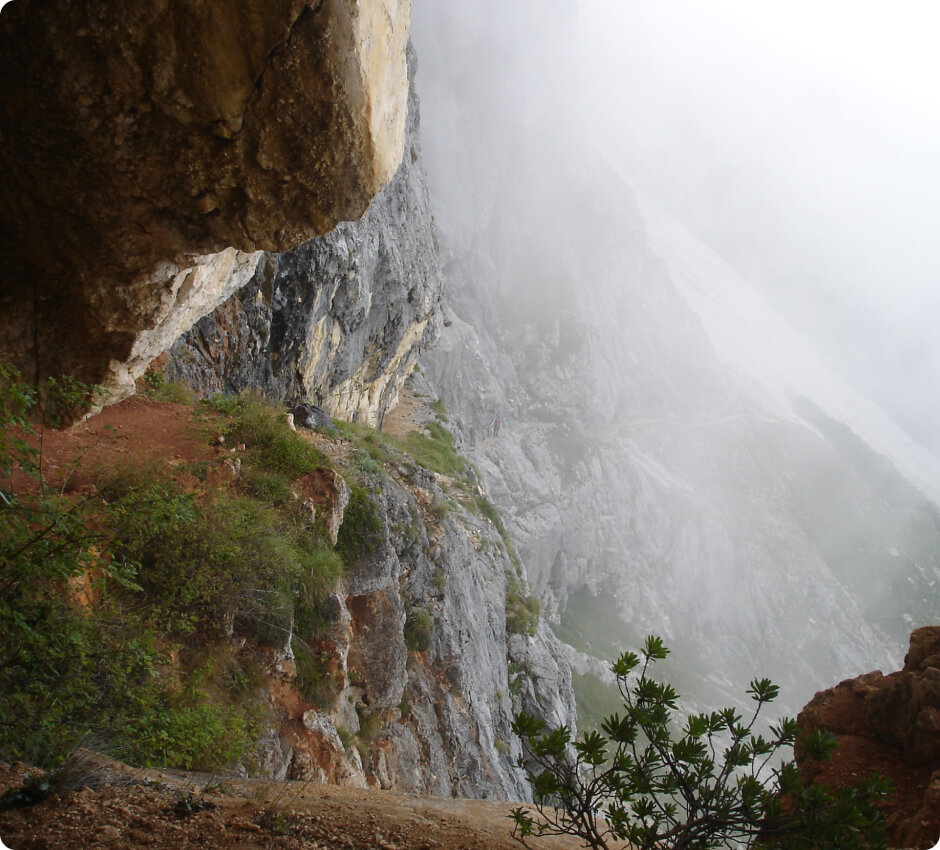
The trail leads through forests, rocky slopes, and small glaciers, with good signage. The hiking time is about 8-10 hours, depending on pace and weather conditions.

Accommodation

On the way to the Zugspitze summit, there is the Münchner Haus mountain hut located just below the peak, at an altitude of 2959 meters above sea level. The hut offers accommodation and meals, allowing for a rest before continuing the climb to the summit. Reserving accommodation in the hut in advance is strongly recommended, especially during the summer season when the number of tourists is highest.

Zapisaliśmy Twojego maila w bazie.

Jak tylko projekt zostanie uruchomiony, to wyślemy Ci wiadomość.

Jesteśmy w kontakcie!
Ups... musisz wyrazić zgodę i wpisać poprawny adres e-mail

Our newsletter is a virtuosity of spam and unnecessary emails. Sign up and we will harass you... just kidding!

You will receive only important notifications and news. Sometimes we may write about other mountain initiatives, but know that you can unsubscribe at any time.