Poland

Rysy - 2499 m

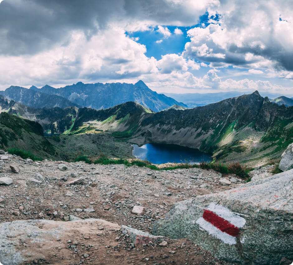
The mountain is located on the Polish-Slovak border in the High Tatras (one of the parts of the Tatras). It has three peaks, of which the highest is the middle one (2501 m above sea level), located entirely on the territory of Slovakia. The north-western peak, through which the border runs, is the highest point in Poland.

source: wikipedia.org

Vatican Hill

Last updated: none

Duration

8-10 hours (round trip)

Starting point

Palenica Białczańska

Nearest airport

Kraków-Balice Airport

Trail difficulty

Medium

Mountain hut on the way to the peak

PTTK Shelter Morskie oko

Are the details not up to date?

Help other travellers!

We are currently gathering data about each peak. If you or your friends can help others, so...

Complete a short form

Introduction

Rysy is the highest peak in Poland, located in the Tatra Mountains, reaching a height of 2499 metres above sea level. The trail is not very steep, but due to the altitude and elevation, climbing Rysy can be a challenge, especially for novice hikers.

Weather

In the summer, the trail to the top of Rysy is pleasant, with moderate temperatures ranging from 10-20°C. Although days can be sunny, it is important to remember that weather in the mountains can change quickly. Rain and thunderstorms are frequent, so it is always worth bringing rain gear.

In winter, conditions on the trail are much harder. Temperatures often drop below zero, and snow can cover the trail from October to April. As a result, climbing Rysy in the winter can be dangerous and require appropriate equipment and mountaineering experience.
How to get there?

The best way to get to Poland is to fly to Kraków-Balice Airport (Jana Pawła II). From there, you can take a train or bus to Zakopane. Then, take local public transport or a car to Palenica Białczańska, where the trail begins.

Starting point

The starting point of the trail to Rysy is Palenica Białczańska. There is a car park nearby where you can leave your car. From there, you start on the yellow trail to Morska Przełęcz.

Trail to the peak

The trail is well-marked, and the terrain is varied, with beautiful views of the surrounding mountains. Estimated time to reach the peak is around 6-8 hours from the starting point. No additional climbing equipment is required, but it is worth being better prepared.

Accommodation

On the way to the summit, there is the PTTK Morskie Oko Shelter. The shelter offers accommodation and meals for hikers, which can be particularly useful if you are planning a two-day trip to Rysy. However, it is worth checking the availability of accommodation in advance and reserving a room if necessary, as the shelter can be very busy in the summer season.

Zapisaliśmy Twojego maila w bazie.

Jak tylko projekt zostanie uruchomiony, to wyślemy Ci wiadomość.

Jesteśmy w kontakcie!
Ups... musisz wyrazić zgodę i wpisać poprawny adres e-mail

Our newsletter is a virtuosity of spam and unnecessary emails. Sign up and we will harass you... just kidding!

You will receive only important notifications and news. Sometimes we may write about other mountain initiatives, but know that you can unsubscribe at any time.