Slovakia

Gerlach - 2655 m

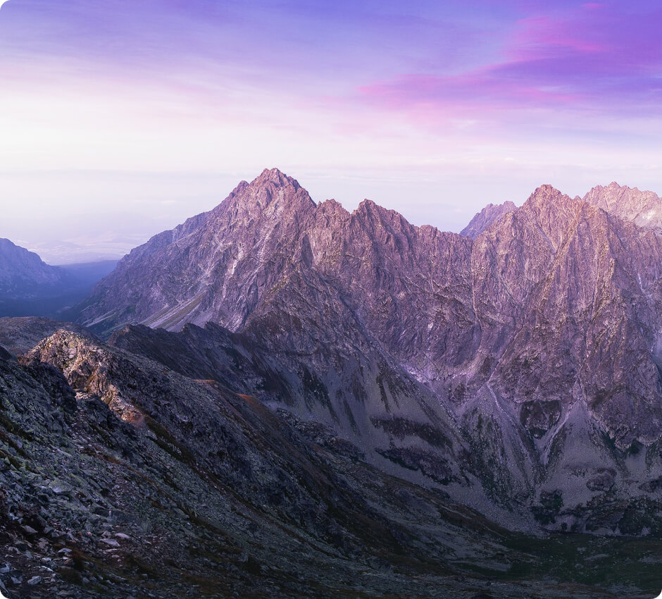
The highest peak in the Tatras, the Carpathians, and also Slovakia, is located in the side ridge of the High Tatras. This peak belongs to the Crown of Europe and the Great Crown of the Tatras.

source: wikipedia.org

Gerlach

Last updated: none

Duration

about 10-12 hours (round trip)

Starting point

Štrbské Pleso

Nearest airport

Poprad-Tatry International Airport

Trail difficulty

Hard

Mountain hut on the way to the peak

Téryho chata

Are the details not up to date?

Help other travellers!

We are currently gathering data about each peak. If you or your friends can help others, so...

Complete a short form

Introduction

Gerlach (Gerlachovský štít) is the highest peak in Slovakia, located in the High Tatras at an altitude of 2655 m above sea level. Climbing this peak is demanding due to steep ascents and the need for securing oneself in certain places. Therefore, it is worth checking weather conditions and one's climbing skills before embarking on the trip.

Weather

During the summer, conditions on the trail are usually milder, with temperatures ranging between 10-20°C. However, during a summer hike, it is worth remembering about the variable weather in the mountains and the danger of thunderstorms that can appear unexpectedly.

In the winter, the route to the summit is much more difficult due to a large amount of snow, icing, and the risk of avalanches. Temperatures can drop below -20°C, and winds can be very strong. Therefore, a winter ascent of Gerlach is reserved only for experienced mountaineers.
How to get there?

The nearest airport is Poprad-Tatry International Airport. After landing, you can get to the town of Štrbské Pleso by train or bus. Alternatively, you can rent a car and drive to Štrbské Pleso, where the starting point of the expedition is located.

Trailhead

The trailhead to Gerlach is located in the town of Štrbské Pleso. There is a parking lot nearby where you can leave your car. Then, head towards the trail leading through the Mlynická Valley.

Route to the peak

The trail leads through the Mlynická Valley and then through the Wielická Valley. The entire route is marked, but in some places, securing oneself is required. Climbing Gerlach takes about 5-6 hours. It is worth remembering that the summit is accessible only with a mountain guide, due to the requirements of the Tatra National Park and the technical difficulties of the trail.

Accommodation

On the way to the summit, there is the Téryho chata mountain hut, located at an altitude of 2015 m above sea level. This is an ideal place to rest before continuing the climb or for overnight accommodation after descending from the summit. The hut offers basic amenities such as sleeping arrangements, meals, and access to drinking water. Reservation of accommodation is recommended, especially during the peak tourist season.

Zapisaliśmy Twojego maila w bazie.

Jak tylko projekt zostanie uruchomiony, to wyślemy Ci wiadomość.

Jesteśmy w kontakcie!
Ups... musisz wyrazić zgodę i wpisać poprawny adres e-mail

Our newsletter is a virtuosity of spam and unnecessary emails. Sign up and we will harass you... just kidding!

You will receive only important notifications and news. Sometimes we may write about other mountain initiatives, but know that you can unsubscribe at any time.