Slovenia

Triglav - 2864 m

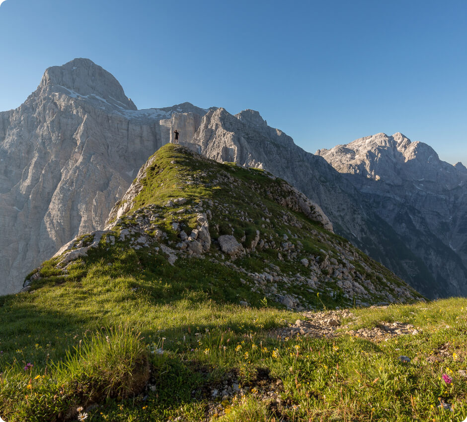
The highest peak of the Julian Alps (part of the Eastern Alps). It is the highest peak in Slovenia and is featured on the country's coat of arms and flag.

source: wikipedia.org

Triglav

Last updated: none

Duration

10-12 hours

Starting point

Aljažev dom (mountain hut) in the Vrata Valley

Nearest airport

Rome-Fiumicino Airport (FCO)

Trail difficulty

Medium

Mountain hut on the way to the peak

Schronisko Dom Planika

Are the details not up to date?

Help other travellers!

We are currently gathering data about each peak. If you or your friends can help others, so...

Complete a short form

Pomóż innym podróżnikom!

Aktualnie gromadzimy dane o każdym ze szczytów.
Jeżeli Ty lub Twoi znajomi możecie pomóc innym, to...

Uzupełnij krótki formularz

Introduction

Triglav is the highest peak in Slovenia, standing at 2864 metres above sea level. It is not only a national symbol, but also a popular destination for hikers and mountain enthusiasts. The route to the summit is steep, but well-marked. It does not require specialist climbing skills. Nonetheless, due to the steep ascent, the climb can be demanding, especially for those with weaker physical fitness

Weather

In summer, conditions on Triglav are generally good, though changeable. Temperatures range from 10 to 20 degrees Celsius, and rainfall is relatively rare. The trails are usually free of snow, but be prepared for changing weather conditions, particularly fog and strong winds.

In winter, Triglav is covered in snow and ice, making the climb more demanding. Temperatures at the summit can drop to as low as -20 degrees Celsius, and weather conditions are typically harsh and unpredictable. Winter climbing may require specialist equipment and climbing skills.
Getting there

The nearest airport is Ljubljana Airport (LJU). Upon arrival, you can rent a car and head northwest towards the Vrata Valley. The drive from the airport to the valley takes around 2 hours. Alternatively, you can take a bus from Ljubljana to Kranjska Gora, and then to the Vrata Valley.

Trailhead

The trailhead is located at the Aljažev dom mountain hut in the Vrata Valley. There is parking available where you can leave your car before starting the hike.

Route to the summit

The trail to Triglav starts out gently, leading through forest, but becomes increasingly steep as it approaches the Dom Planika mountain hut. The trail is well-marked with numerous signs and posts indicating the way. From the trail, you can admire magnificent views of the surrounding valleys and mountains. The estimated time needed to reach the summit from the starting point is 5-6 hours. On the final section of the trail before reaching the summit, the use of side railings and chains is required. This may pose a challenge for those with a fear of heights. Nonetheless, it is not technically difficult and most people should be able to manage it.

Accommodation

En route to the summit is the Dom Planika mountain hut, where you can spend the night before continuing the hike to the summit the next day. The hut offers accommodation, meals, and essential information about the trail and weather conditions. It is recommended to book accommodation in advance, especially during peak tourist season, as the hut can become quickly filled up.

Zapisaliśmy Twojego maila w bazie.

Jak tylko projekt zostanie uruchomiony, to wyślemy Ci wiadomość.

Jesteśmy w kontakcie!
Ups... musisz wyrazić zgodę i wpisać poprawny adres e-mail

Our newsletter is a virtuosity of spam and unnecessary emails. Sign up and we will harass you... just kidding!

You will receive only important notifications and news. Sometimes we may write about other mountain initiatives, but know that you can unsubscribe at any time.