Switzerland

Dufourspitze - 4634 m n.p.m.

Peak in the Pennine Alps. The highest peak in the Monte Rosa massif and Switzerland, the second-highest independent peak in the Alps (after Mont Blanc), and also in Europe, if the Caucasus is not considered part of it. It is located in Switzerland in the canton of Valais, near the border with Italy.

source: wikipedia.org

Vatican Hill

Last updated: none

Duration

8-10 hours

Starting point

Zermatt

Nearest airport

Geneva Airport

Trail difficulty

Difficult

Mountain hut on the way to the peak

Monte Rosa Hut

Are the details not up to date?

Help other travellers!

We are currently gathering data about each peak. If you or your friends can help others, so...

Complete a short form

Introduction

Dufourspitze is the highest peak in the Monte Rosa massif in Switzerland, reaching an altitude of 4634 m above sea level. It is a challenging climb for experienced mountaineers due to the steep and technically demanding route. Be prepared for difficult terrain, high altitude, and rapid weather changes.

Weather

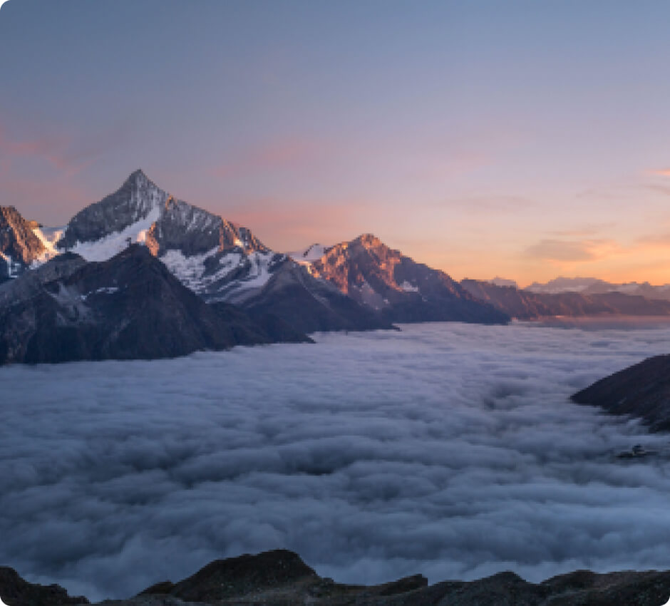
In summer, temperatures at the summit can range from -5 to 5 degrees Celsius. The weather is usually stable, but thunderstorms and fog can appear unexpectedly. Summer is the best time to climb Dufourspitze, but remember to prepare and equip yourself appropriately.

Winter on Dufourspitze means extremely difficult conditions. There is a lot of snow, a high risk of avalanches, and temperatures can drop to as low as -20 degrees Celsius. Winter climbing is only for very experienced mountaineers.

How to get there

The best way is to fly to Geneva Airport, and then take a train or rent a car to get to Zermatt. A direct train runs from Geneva to Zermatt and the journey takes about 4 hours.

Starting point

Zermatt is the starting point for climbing Dufourspitze. Remember that cars are not allowed in the centre of Zermatt, but parking is available on the outskirts of the town. You can reach the centre by public transport.

Route to the summit

The route to Dufourspitze is steep and requires climbing skills and the use of safety equipment. The trail is well-marked and leads through glaciers that require crampons and ice axes. From the starting point to the summit, you will need to climb about 1800 m in altitude. The estimated hiking time is from 8 to 10 hours.

Accommodation

On the way to the summit, there is the Monte Rosa Hut, where you can stay overnight before attacking the summit. The hut offers sleeping places and meals, but booking in advance is recommended.

Zapisaliśmy Twojego maila w bazie.

Jak tylko projekt zostanie uruchomiony, to wyślemy Ci wiadomość.

Jesteśmy w kontakcie!
Ups... musisz wyrazić zgodę i wpisać poprawny adres e-mail

Our newsletter is a virtuosity of spam and unnecessary emails. Sign up and we will harass you... just kidding!

You will receive only important notifications and news. Sometimes we may write about other mountain initiatives, but know that you can unsubscribe at any time.