Ukraine

Howerla - 2061 m

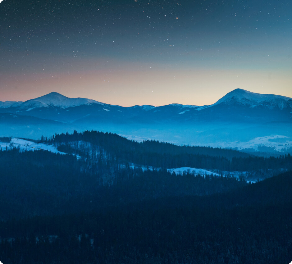
The highest peak in the Beskids, located in the Eastern Beskids in the northwestern part of the Chornohora range, is the highest peak in Ukraine. Its slopes are approximately 1100 meters high.

source: wikipedia.org

Hoverla

Last updated: none

Duration

3-4 hours

Starting point

The town of Zaroslyak

Nearest airport

Ivano-Frankivsk Airport

Trail difficulty

Medium

Mountain hut on the way to the peak

None

Are the details not up to date?

Help other travellers!

We are currently gathering data about each peak. If you or your friends can help others, so...

Complete a short form

Introduction

Hoverla Peak is the highest point in Ukraine, standing at 2061 meters above sea level in the Carpathian Mountains. Climbing to the summit does not require technical skills, but the trail goes through steep sections that can be particularly exhausting. A trip to Hoverla will provide magnificent views to any traveller.

Weather

In the summer, the conditions are quite pleasant. Temperatures range from 10 to 25 degrees Celsius. Rainfall can occur, so it is worth bringing waterproof clothing. In the mountains, the weather can quickly change, so it is advisable to monitor weather forecasts.

In winter, the trail to Hoverla is covered in snow, and temperatures can drop below -10 degrees Celsius. The trail is more difficult, and climbing can be dangerous due to ice and avalanche hazards. Appropriate winter equipment, such as crampons and an ice axe, is required.
How to get there?

The nearest airport is in Ivano-Frankivsk. From the airport, you can rent a car or take local bus connections to reach the town of Zaroslyak, which is the starting point of the hike. The journey from Ivano-Frankivsk to Zaroslyak takes about 2 hours.

Trailhead

The trailhead to Hoverla is located in the town of Zaroslyak, where you can leave your car in the parking lot. The starting point is well-marked, and the trail begins at the information board.

Route to the summit

The route to Hoverla's summit leads through the forest and then through alpine meadows. The trail is well-marked with yellow and blue signs. Climbing does not require specialist climbing equipment, but it is worth having appropriate mountain footwear. The estimated time to reach the summit is 3-4 hours.

Accommodation

There is no mountain hut on the way to the summit, but in the town of Zaroslyak, there are guesthouses and campsites where you can stay before embarking on the hike or after returning from the trip. Booking accommodation in advance is recommended, especially during the tourist season. Alternatively, you can pitch a tent in designated locations on the meadow in Zaroslyak to spend the night in the heart of nature.

Zapisaliśmy Twojego maila w bazie.

Jak tylko projekt zostanie uruchomiony, to wyślemy Ci wiadomość.

Jesteśmy w kontakcie!
Ups... musisz wyrazić zgodę i wpisać poprawny adres e-mail

Our newsletter is a virtuosity of spam and unnecessary emails. Sign up and we will harass you... just kidding!

You will receive only important notifications and news. Sometimes we may write about other mountain initiatives, but know that you can unsubscribe at any time.